
Barnstable County Neighbors by Parcel
Public block research in Barnstable County begins with geographic relationships. The Town of Barnstable GIS layers can show parcels, abutters, roads, buildings, town boundaries, nearby towns, flood zones, zoning, and protected land. They do not produce a verified list of current neighbors. Each source below answers a narrower question, and its date should stay with the result.
| Source | What It Shows About a Block | Access |
|---|---|---|
| GIS parcel and abutter layers | Adjacent parcels, roads, buildings, and map context | Town of Barnstable public GIS |
| Town assessor record | Parcel owner display, map reference, and fiscal-year context | Town-specific public lookup |
| Registry instrument index | Recorded parties and documents tied to a parcel trail | Free Registry index and images |
| Town public voter list | Permitted public fields for a dated local list | Request to the relevant town office |
| Local historical indexes | Past people-and-place leads in a particular locality | Library finding aids and originals |
An abutter is a parcel relationship. A displayed owner, mailing address, historical listing, or voter entry can each be relevant to a different question, but none should be relabeled as proof that a person currently lives beside the address.
Read Barnstable County Neighbor GIS Abutters
The Town of Barnstable GIS Department links property, parcel, and map resources. Its property-map instructions describe choosing a parcel-number or address search and then using street-name and house-number selections to reduce spelling differences. Detailed assessor information appears with the parcel. The map service separately lists parcel fabric, abutters, abutter labels, buildings, driveways, roads, zoning, protected land, and multiple FEMA flood layers.
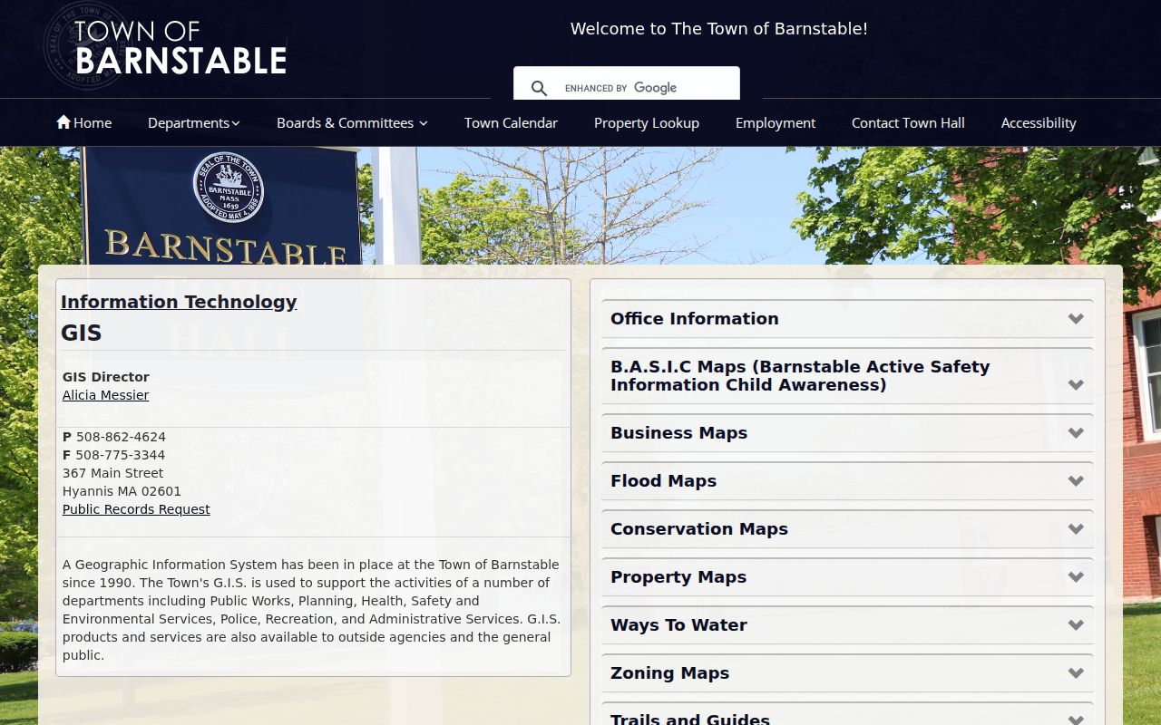
The official GIS Department page shown below is the starting point for the Town of Barnstable portion of a block search.
Parcel lines are graphic representations and not legal boundary evidence, according to the assessor map-book warning. Treat the map as geographic context, then verify a precise property question with the custodial record or a survey where appropriate.
Map a Barnstable County Neighbor Block
Use one parcel as the center of a small, documented block view. The workflow connects an address to nearby parcels and recorded owners without converting the result into a current household list. Barnstable town's assessor accepts map/block/lot, owner last name, or street number and street name. Other county towns require their own assessor or GIS source, so the legal town is a required part of every note.
- Normalize the address with its legal town, village or post office, ZIP, unit or lot, and source date.
- Find the central parcel in GIS and save its parcel ID or map/block/lot, map URL, and displayed fiscal-year information.
- Turn on or inspect nearby parcel and abutter layers, then write down only the adjacent parcel IDs that answer the stated question.
- Open each needed assessor record and separate the displayed owner or mailing data from an occupancy claim.
- Search a recorded owner by name in the Registry when the question requires a dated instrument trail.
For a full named-street chain, use the Barnstable County street directory route. A block view should remain focused on adjacency, parcel dates, and source limits.
Separate Barnstable County Neighbor Owners
Records describing a parcel are useful only when their role is kept intact. An assessor result is a fiscal-year owner and assessment association. A Registry result is a recorded party and filing event. A voter list is a dated registration record with protected fields. Historical directories and library indexes preserve listings from their own dates. The comparison keeps a Barnstable County neighbors search from turning a property clue into an unsupported personal claim.
| Official record | Appropriate block use | What it cannot establish alone |
|---|---|---|
| GIS | Adjacent-parcel geography and map date | Legal boundary or a current resident |
| Assessor | Displayed owner and parcel for a fiscal cycle | Current occupancy |
| Registry | Recorded transfer or other instrument party | Current title conclusion or address use |
| Commercial lookup category | A lead that requires source-by-source checking | Official, current, or complete block evidence |
Dates matter in seasonal Cape records. A timeshare, boatslip, trust, post-office, business, or parcel address can explain an entry without showing a year-round household connection.
Barnstable County Civic Association Context
The Town of Barnstable's Local Comprehensive Plan identifies seven villages and civic-association participation in planning. That context can help a reader understand a block's village label or community forum, but research did not locate an official public umbrella directory of neighborhood associations. Do not turn planning participation into a contact roster or a source of household names.
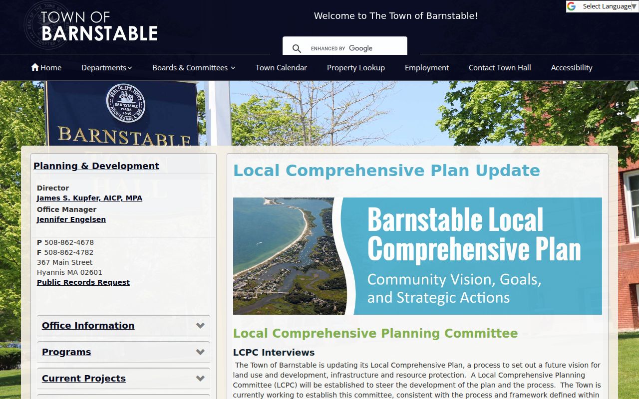
The planning page shown below documents the community context for Barnstable town rather than a countywide neighbors directory.
For an actual organization question, contact the town planning or community office identified on the current official page and ask whether a public document or meeting record is available.
Town planning record
Use the Local Comprehensive Plan for village and civic-participation context, not private member information.
Whelden local index
Use the West Barnstable people, homes, organizations, cemetery, and event indexes as historical leads.
Sturgis collections
Use countywide genealogy and local-history finding aids when a block question becomes historical.
Barnstable County Neighbor Voter Boundaries
Massachusetts local public voter lists may include name, address, party, date of birth, active or inactive status, and voter ID. The town office can also provide certain additional fields on request, including election participation and prior changes, subject to current rules and production cost. Barnstable County has 15 town custodians, so a request should name the town and list date instead of asking one county office for a broad roster.
Phone, email, veteran status, permanent absentee status, confidential voters, and minors are not ordinary public fields. The statewide voter-status form is for an individual to check their own registration and asks for name, date of birth, and five-digit ZIP. It is not a countywide neighbor search. Active or inactive status is an election label, not a finding about presence at a parcel.
Barnstable County Neighbor ZIP Traps
Postal labels make a block look simpler than it is. The Registry's official villages table shows that ZIP 02636 serves Craigville in Barnstable and East Falmouth in Falmouth. A shared ZIP is delivery geography, not a municipal boundary. Keep the village, legal town, ZIP, and parcel separately, especially when a nearby address crosses a town line or an older record uses a familiar post-office name.
USPS can normalize a delivery address, but the assessor, GIS, and Registry establish the property town. MassGIS ZIP polygons are approximate delivery-point geography, and Census ZCTAs are generalized statistical areas. Neither should decide the legal town or the people associated with a specific parcel.
Barnstable County Neighbor Record Numbers
Countywide recording numbers provide context for a parcel trail, but not a count of residents or neighbors. The Registry's December 2025 report listed 489 deeds over $50,000, $513,231,240 in sales, and a $720,000 median sale price. Those figures describe reported recording activity and the report's definitions, not the number of homes, households, current owners, or people on a block.
The Registry also reports more than 36,500 record books and more than 1.5 million Land Court documents in its historical and current custody figures. Large collection totals explain why an online name or address result is a starting point. They do not make a map layer complete, and they do not remove the need to compare the parcel, instrument, town, and date for every Barnstable County neighbor question.
Date a Barnstable County Neighbor Record
A useful block note is modest and reproducible. For the center parcel and each needed abutter, retain the normalized address, legal town, village or post-office label, ZIP, parcel or map/block/lot, GIS source date, assessor fiscal year, and Registry search date. If an instrument is used, retain its number, book/page, recording or entry date, document type, party role, and whether an image was inspected. This preserves the difference between a map relationship and a recorded filing.
The Registry name form can be limited by town, party role, document type, and dates. Search an assessor owner as grantor and grantee, then identify whether a document is a deed, mortgage, discharge, plan, easement, or another filing. A filing type suggests a record to inspect; it does not establish a current parcel interest, a boundary, or a person living nearby. This small audit trail makes a later correction possible without compiling a directory of private households.
Note: When a parcel map and a recorded document carry different dates, retain both because they describe separate parts of the Barnstable County neighbor record.
Barnstable County Neighbor Lookup Limits
Massachusetts protects confidential voter information, sensitive personal fields, minors, and qualifying Address Confidentiality Program participants. A public parcel, docket, or historical listing must never be combined to reconstruct a protected location. Utility and delivery data are not a substitute for a public-record field, and a missing result can reflect a lawful safety protection rather than an error.
When a specific record is needed, ask the original town or county custodian for the narrow record class, parcel or address, date range, and electronic format. The county's public-record guidance implements M.G.L. c.66 §10 and 950 CMR 32.00. It calls for a reasonable description and ordinarily provides a written response within ten business days, which may be production, a withholding explanation, a schedule, an extension, or a fee estimate.